
Other Maps
Kirkham
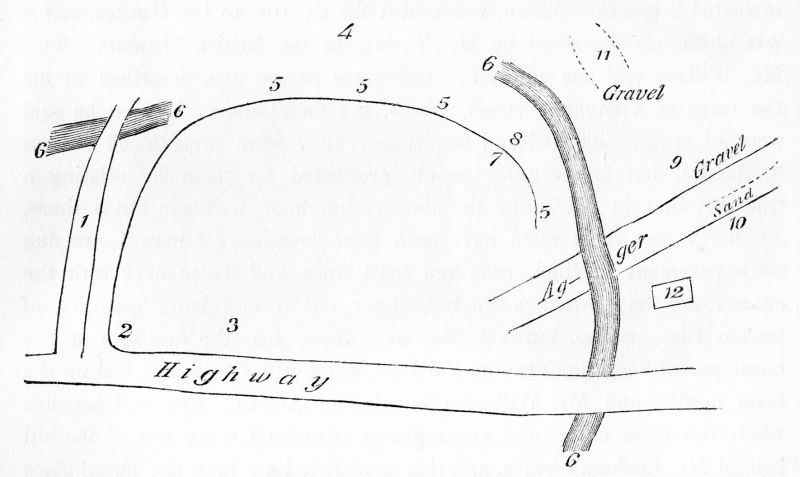
This is Thornber's sketch map of the Roman Fort area of Kirkham.
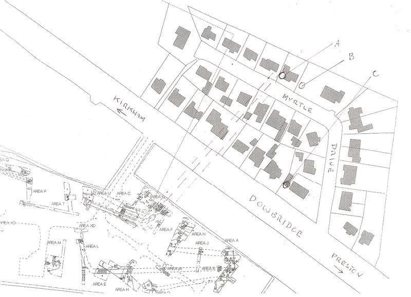
A more modern map of the fort area is shown below:-
Fylde Coast (1689)
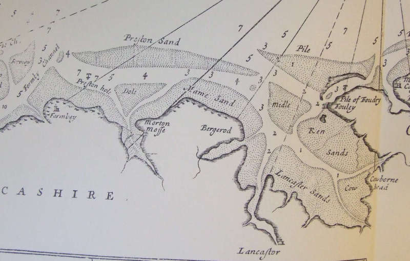
Image taken from "Great Britain's Coastal Pilot" produced by Captain Greenvillle Collins.
Wyre Estuary
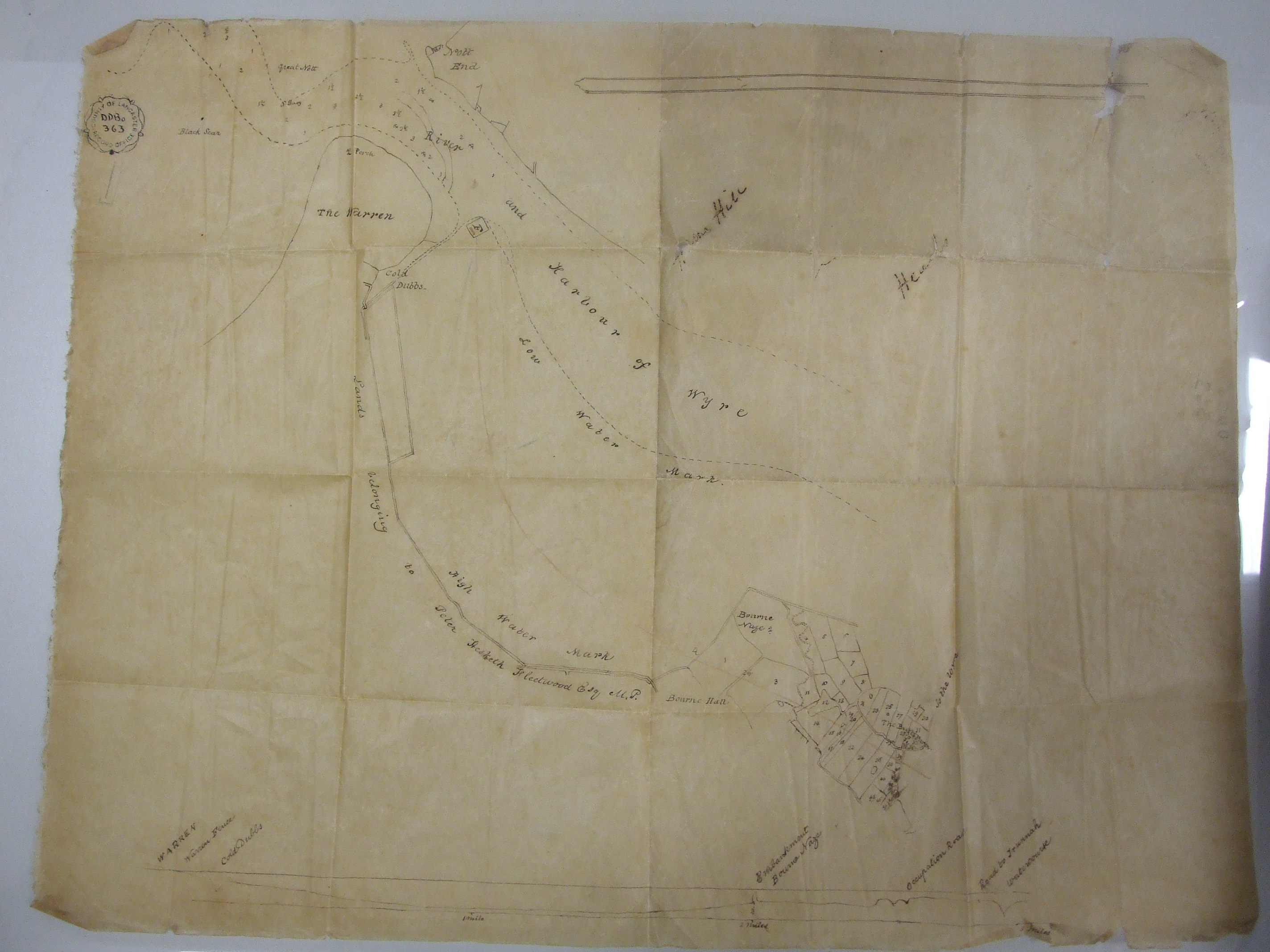
Image (by kind permission of Lancashire Archives) of the Wyre and the Fleetwood-Hesketh Estate between 1824 and 1836.