
Tithe Maps
Bourne Hill and Hall
Unfortunately none of the tithe maps go as far as the Bourne Hill area.
Danes Pad
Many thanks go to Lancashire Records Office (now Lancashire Archives) for permission to use these images.
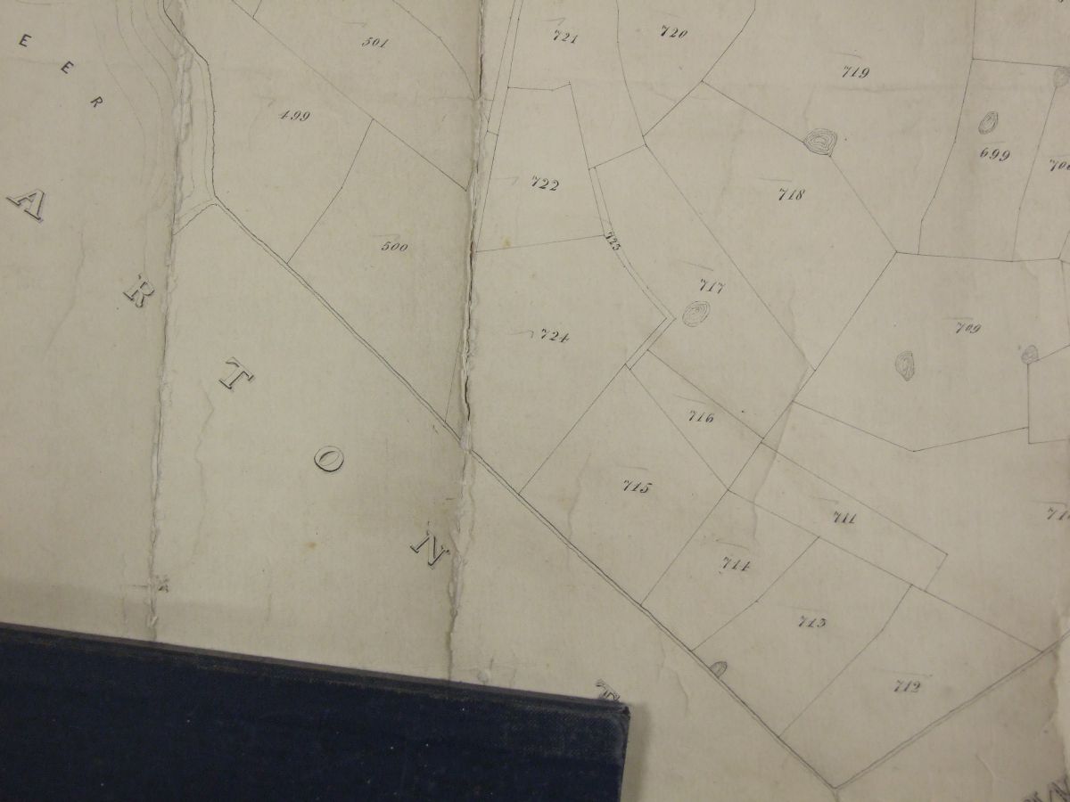
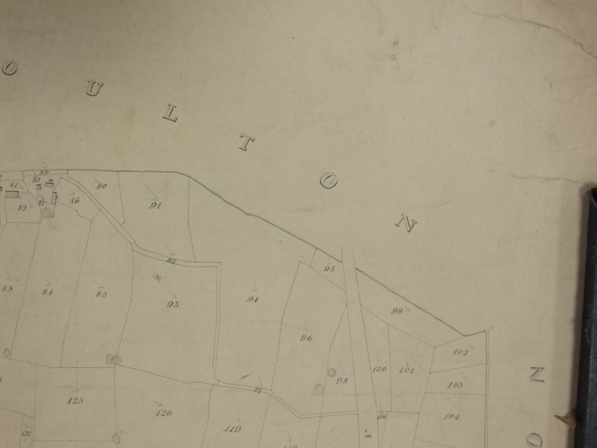
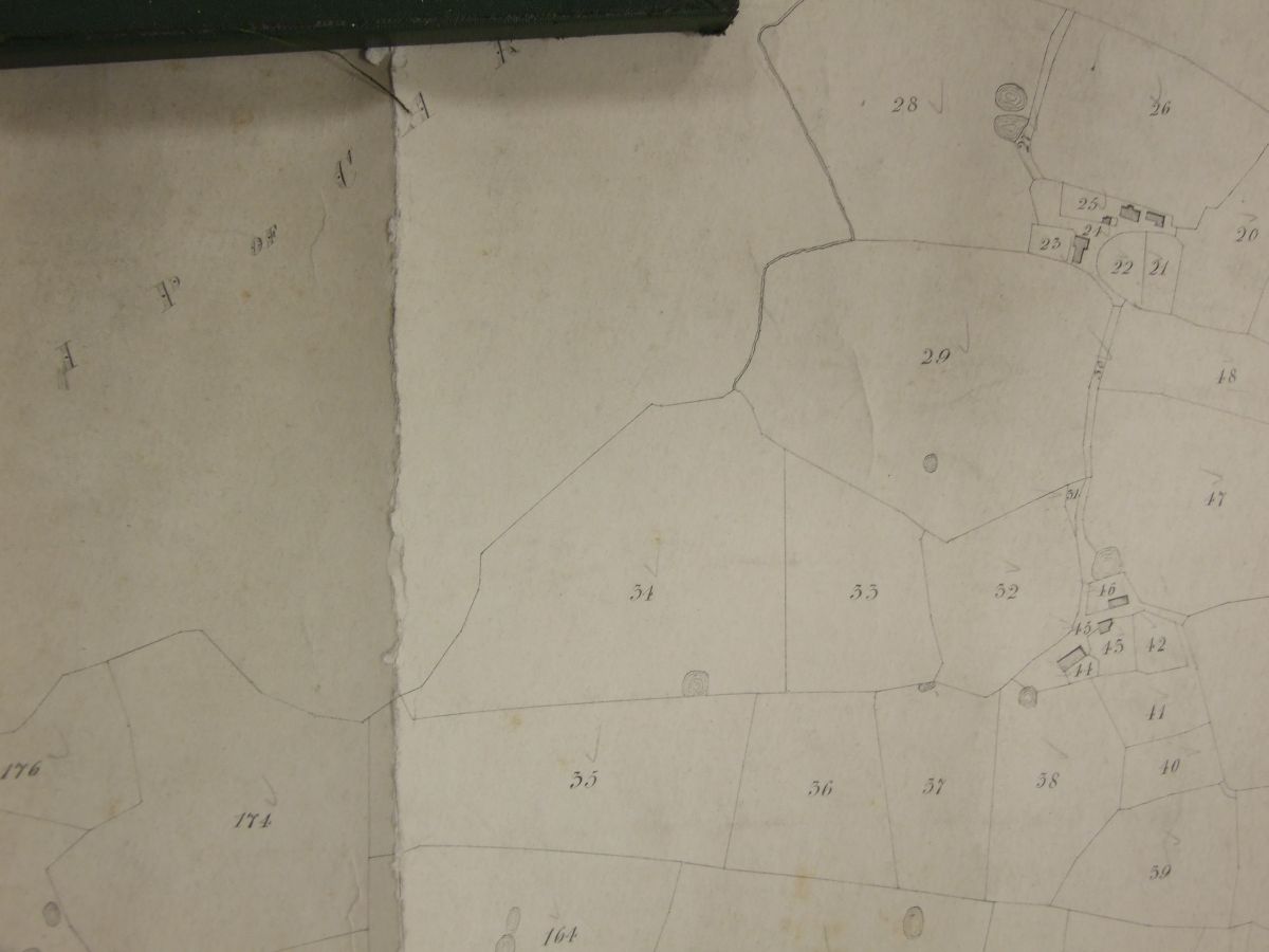
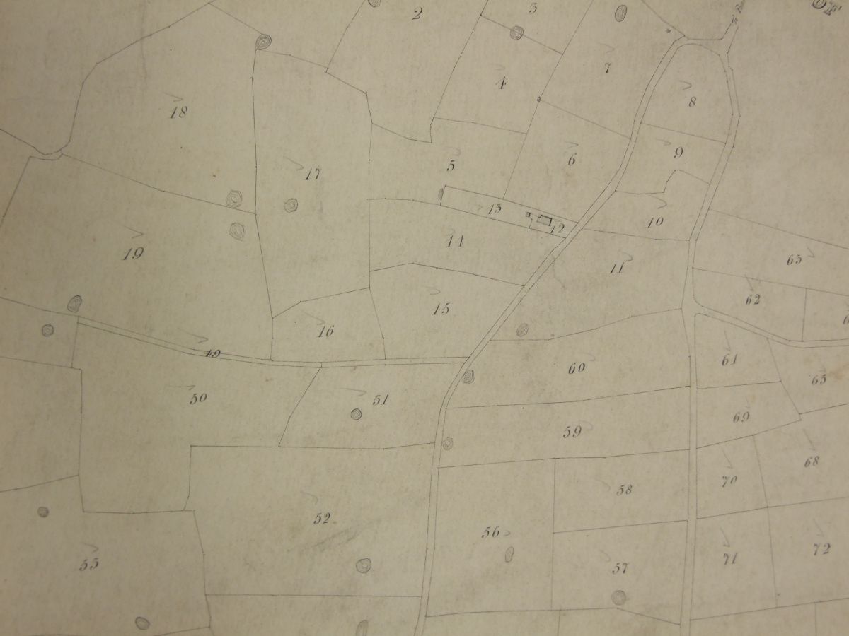
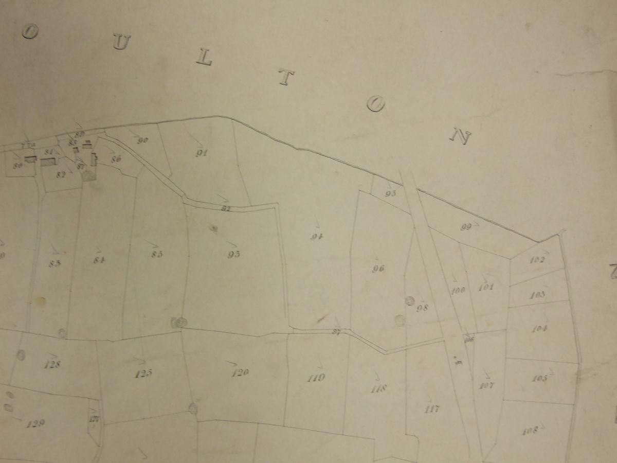
Taking the suggested OS Danes Pad route as a starting point, the maps below have been taken from various tithe maps of the area. Most Tithe maps are not orientated N/S and some of the images have become a little mixed up. If you feel that the caption to images are wrong please contact the webmaster. At some stage I will Photoshop the Danes Pad route over the top of the Tithe Maps.
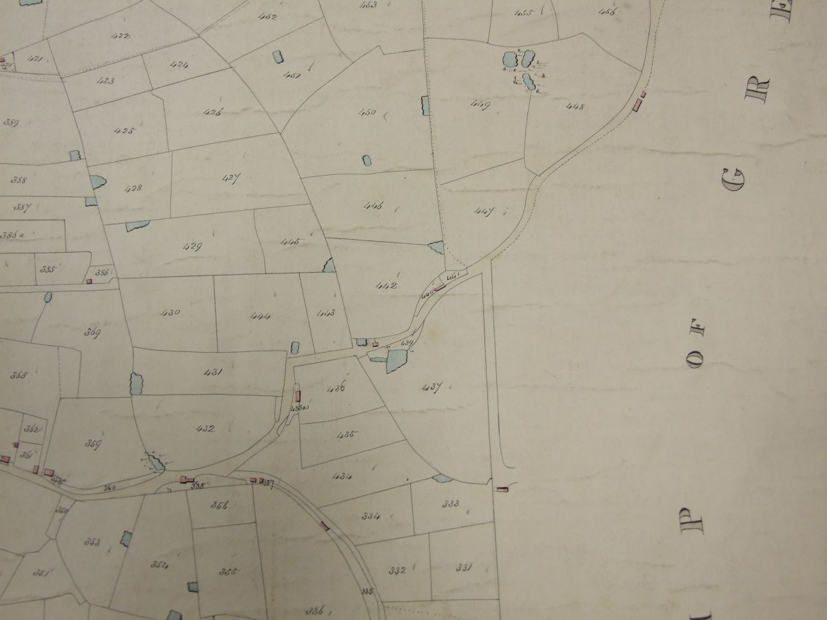
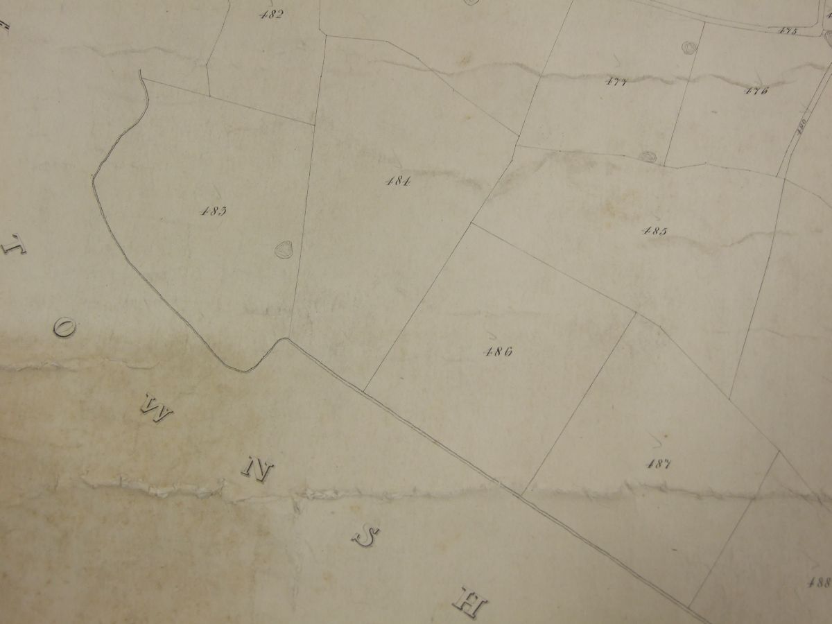
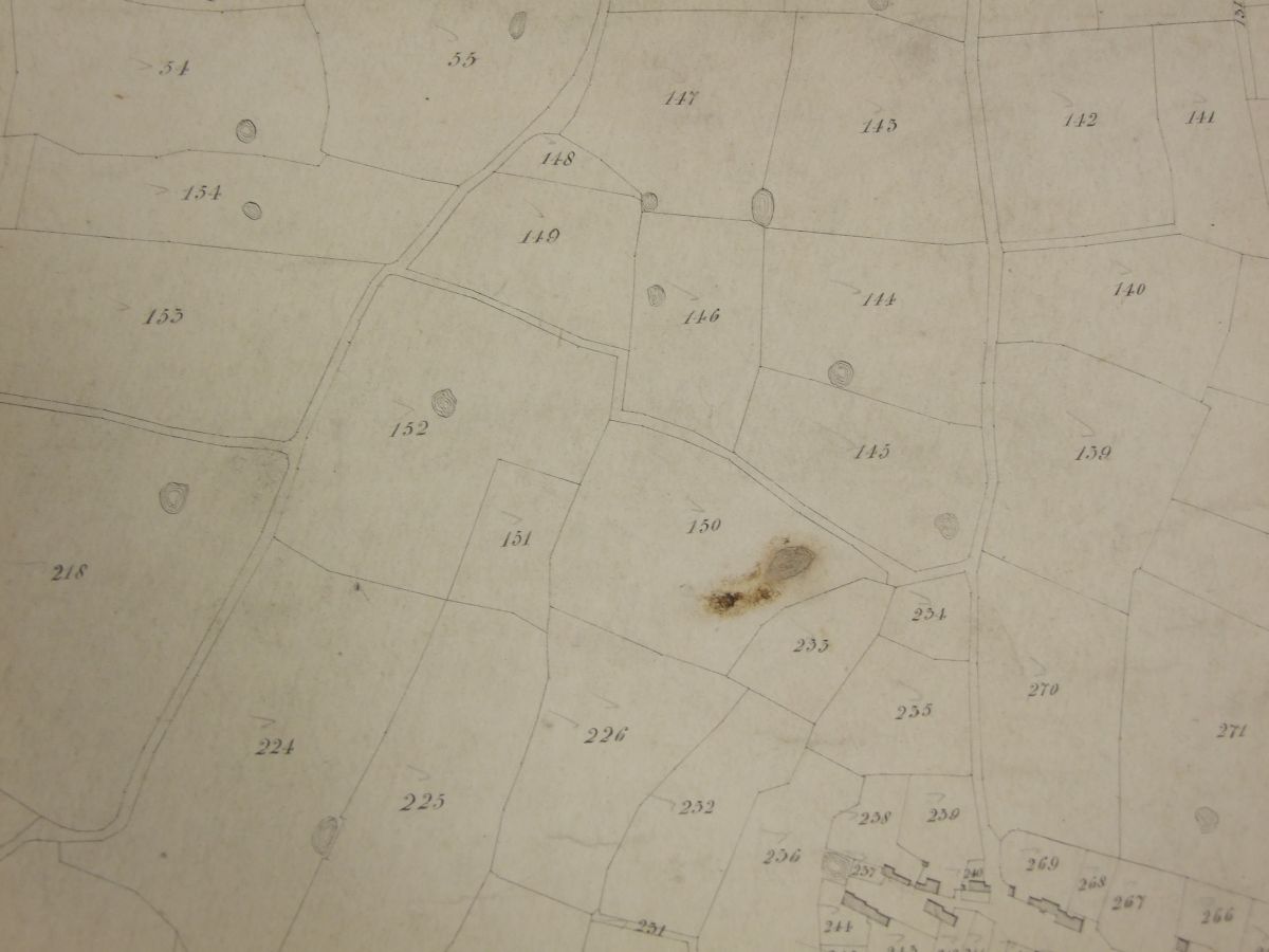
Little and Great Plumpton. The proposed Preston and Wyre Railway is shown on the top-right of the image. The putative Danes Pad was supposed to go between Grreat Plumpton and the railway.
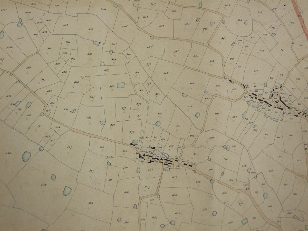
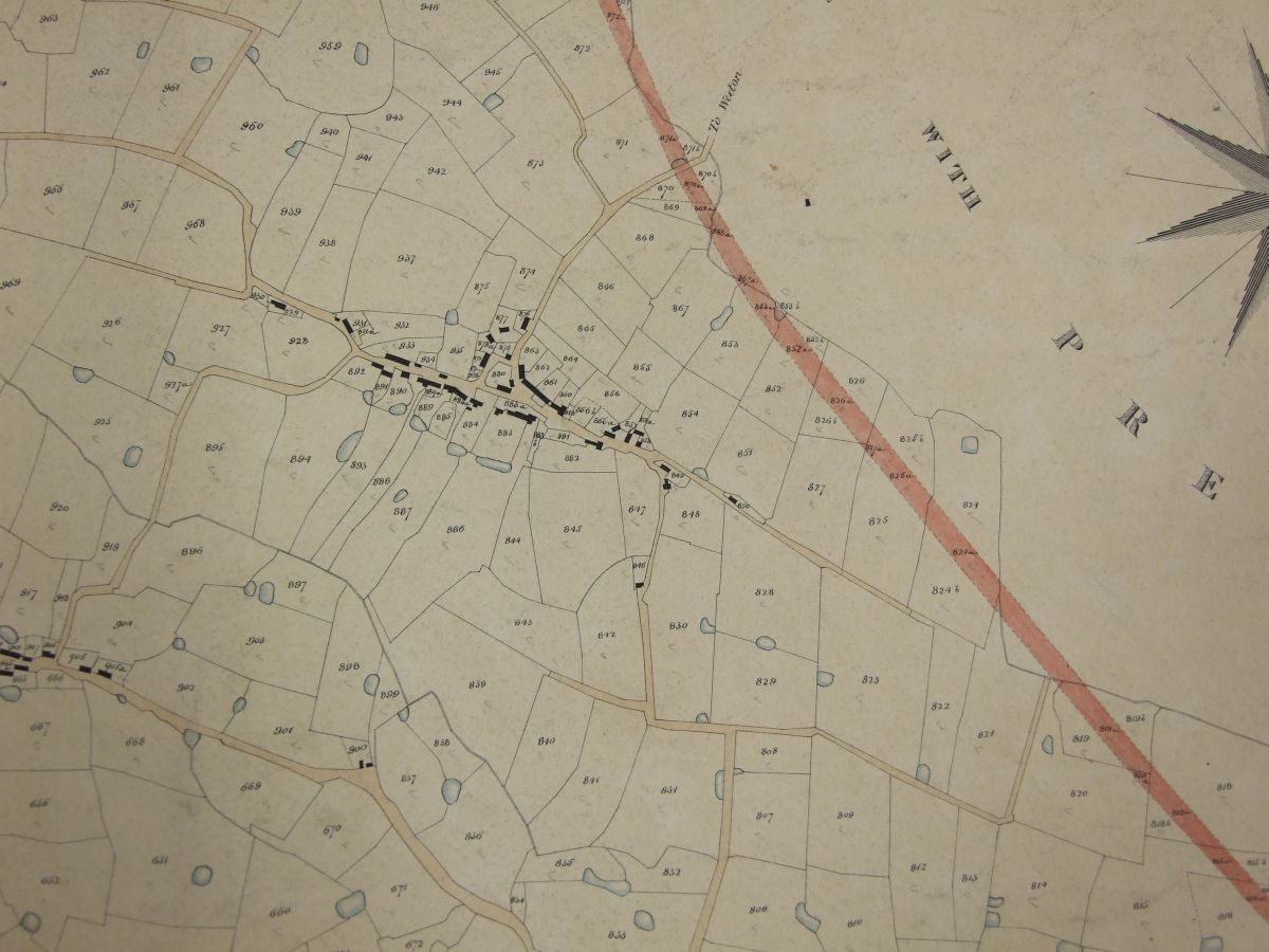
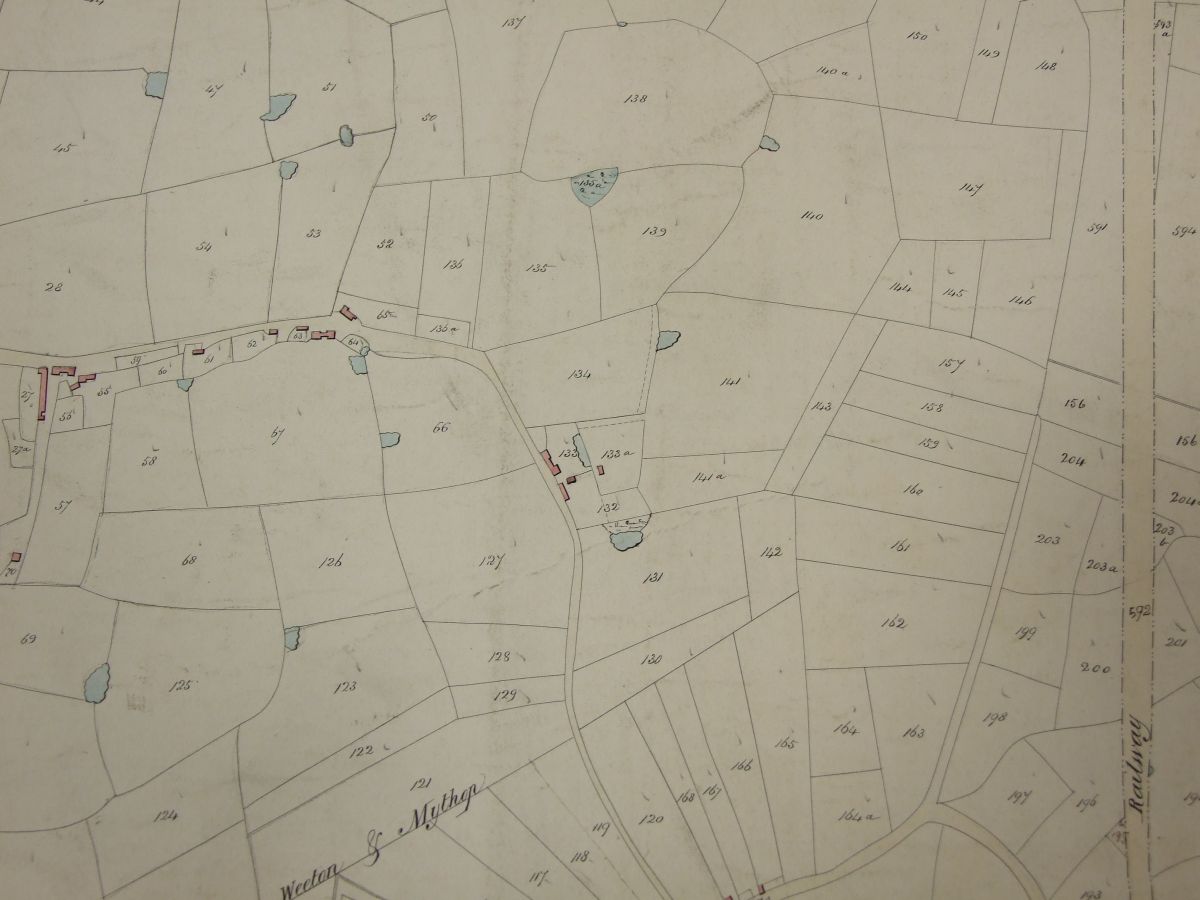
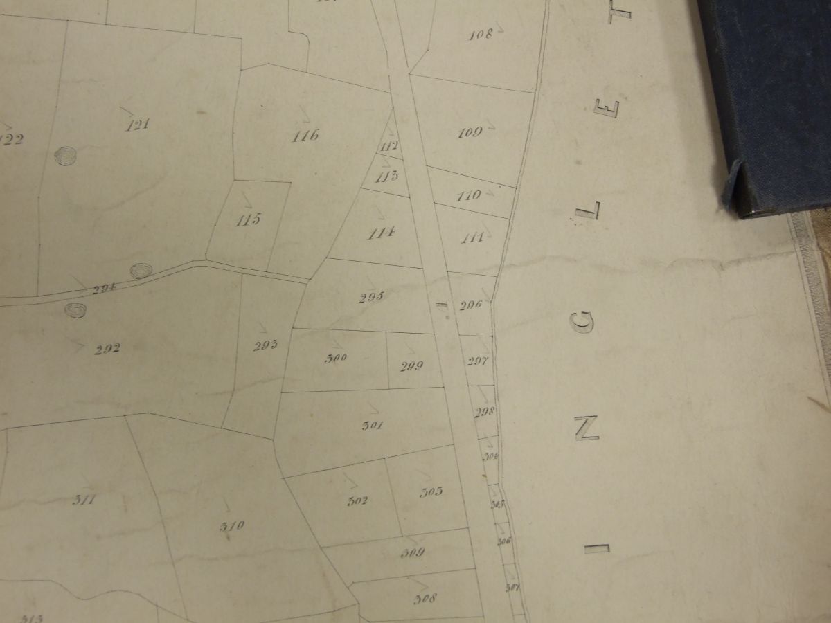
Moving north the Pad went to the East of Weeton. All three maps (including to the East) are shown for completeness.

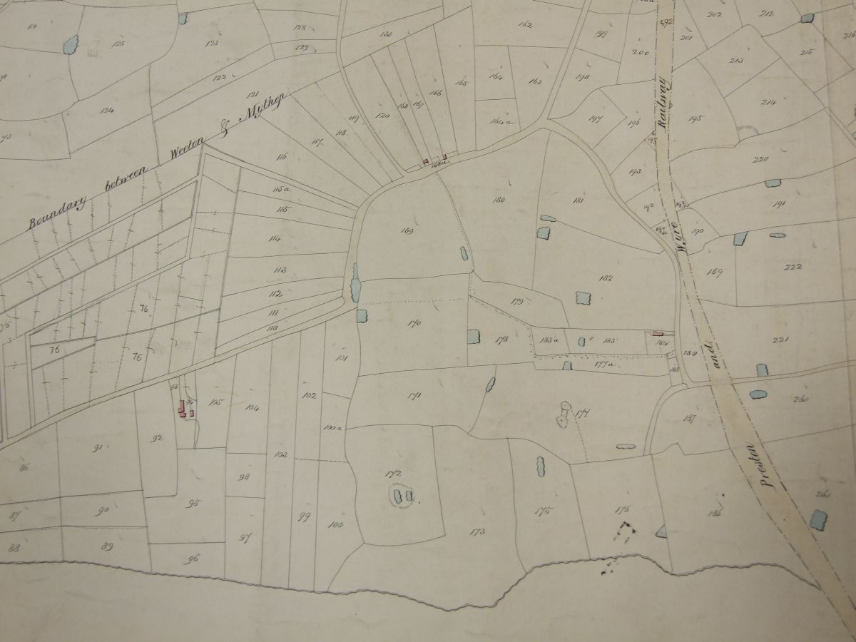
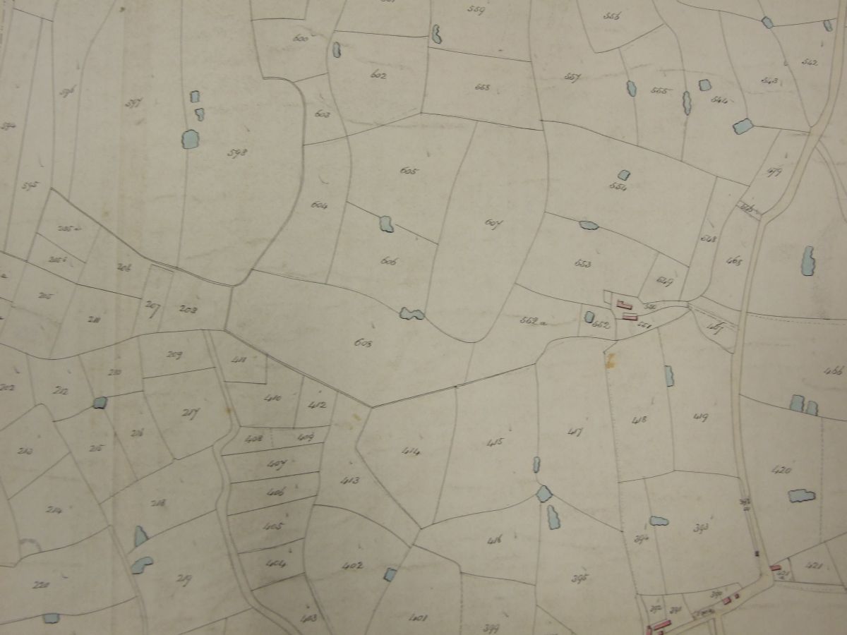
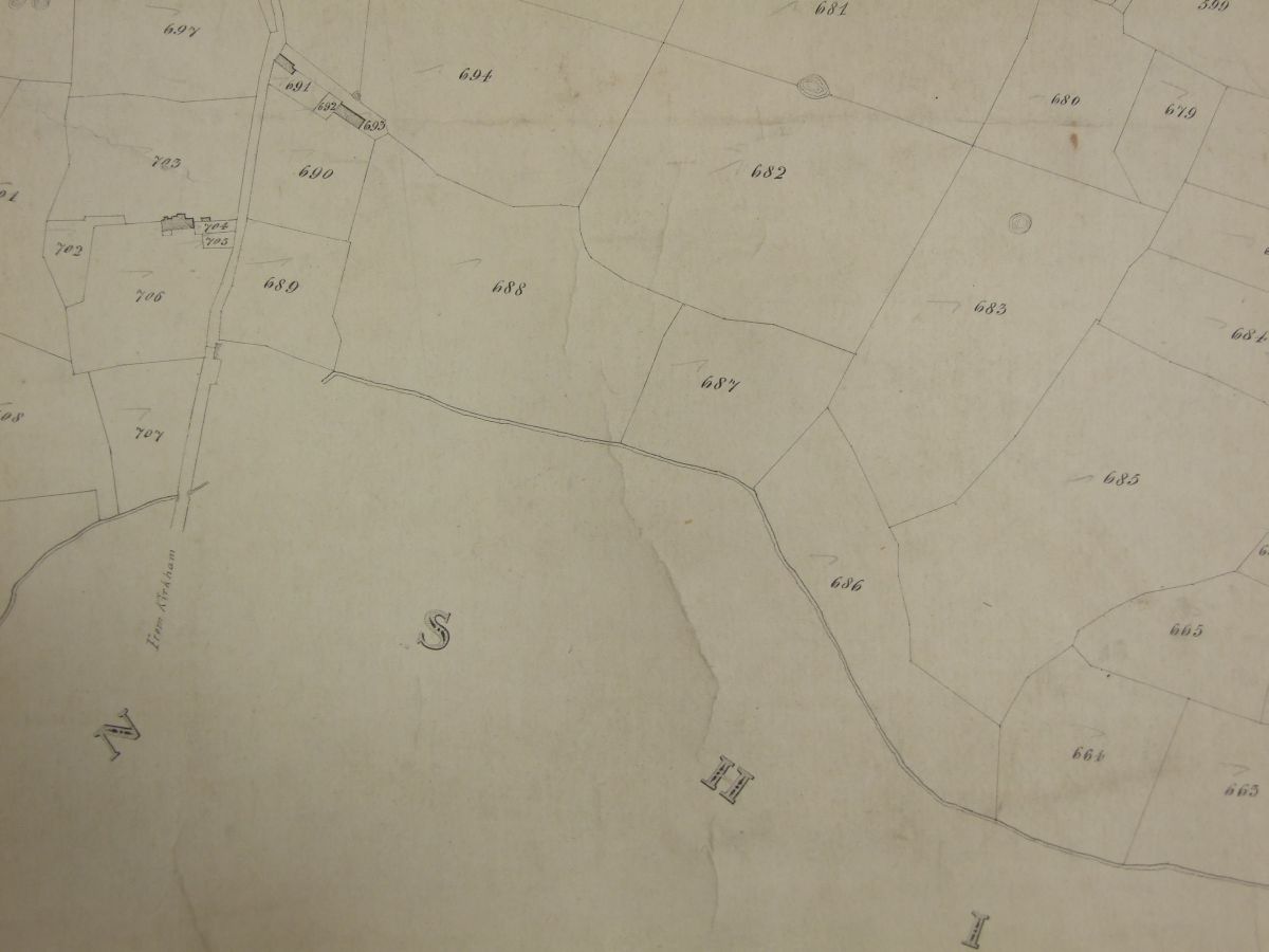
Moving further North
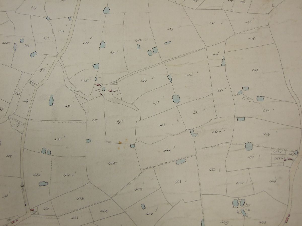
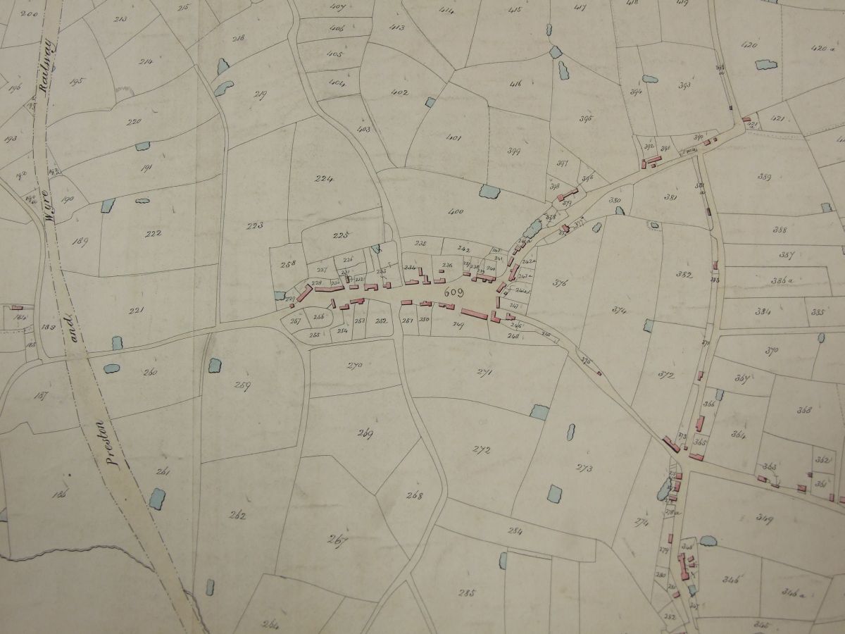
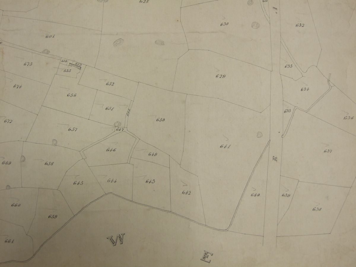
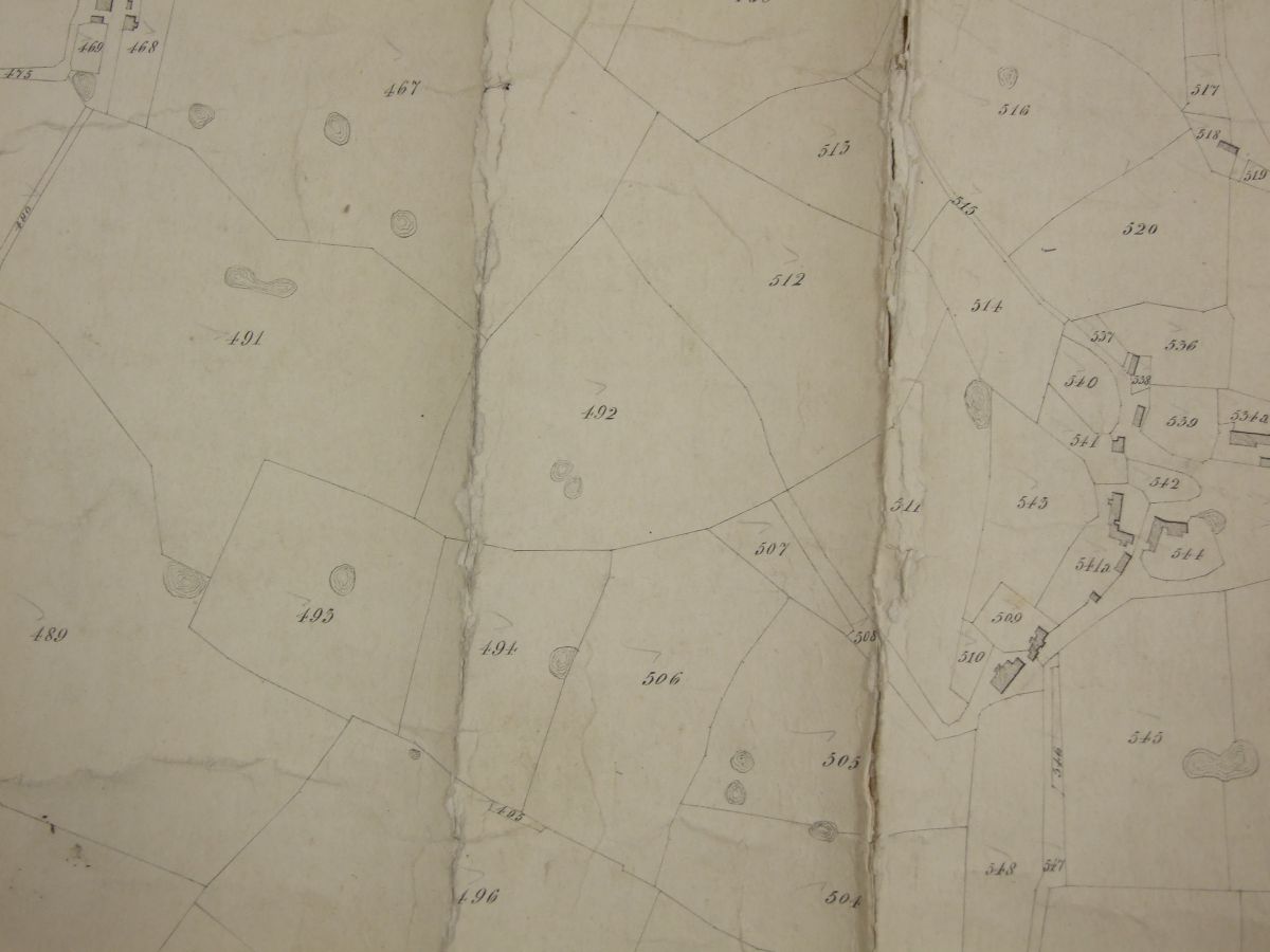
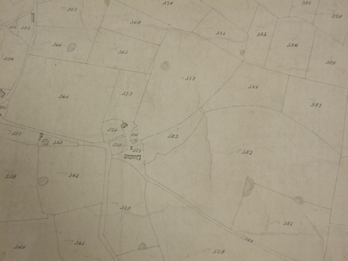
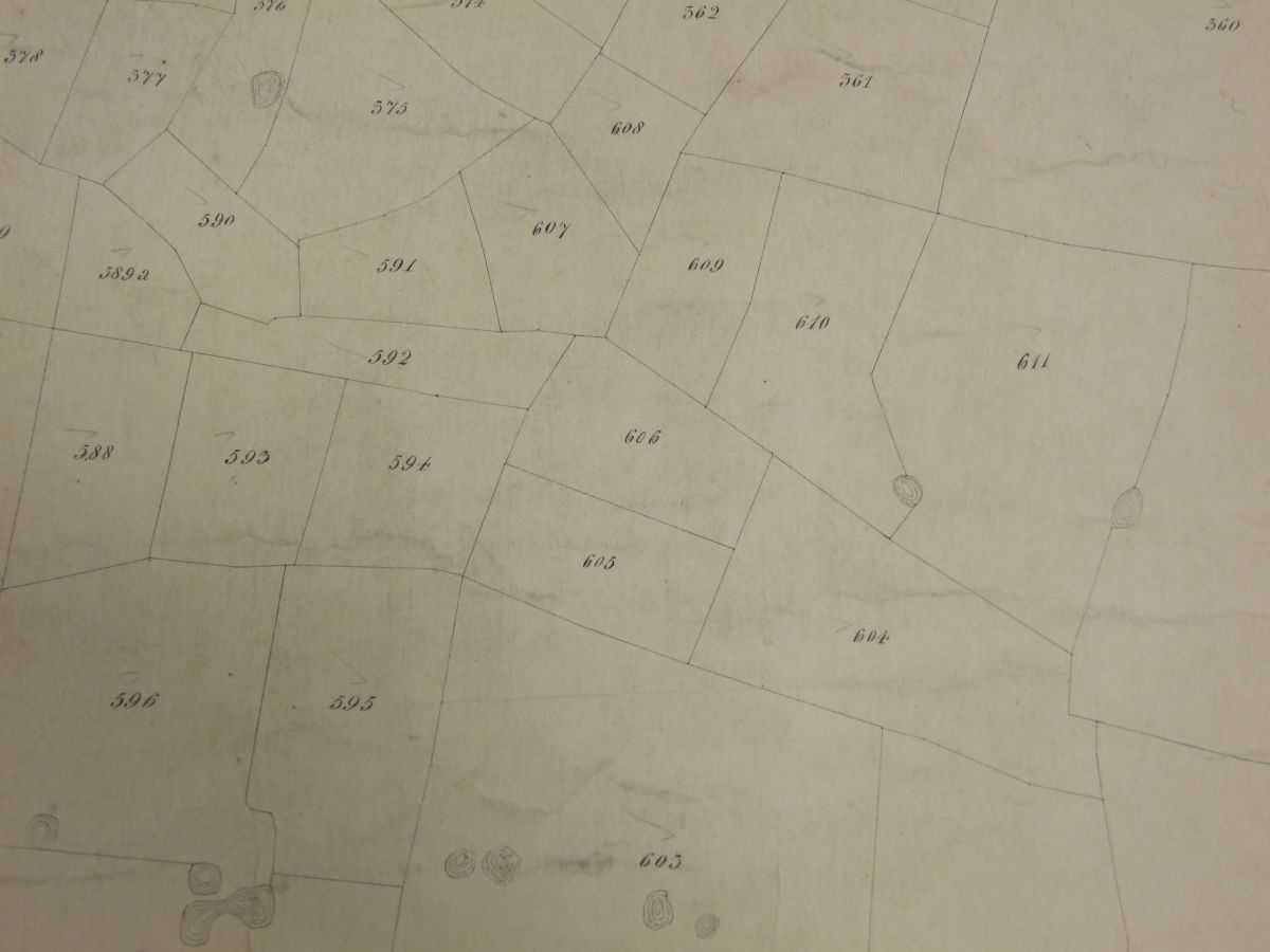
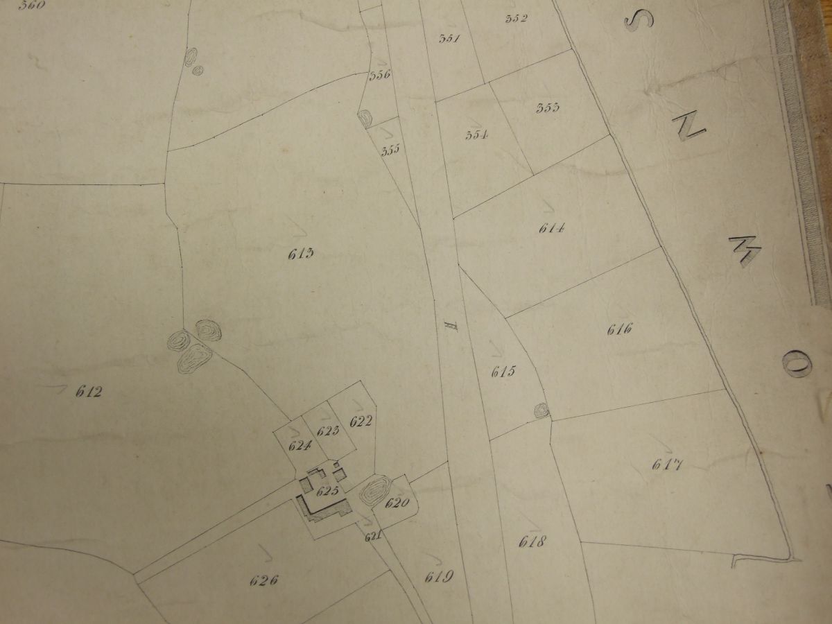
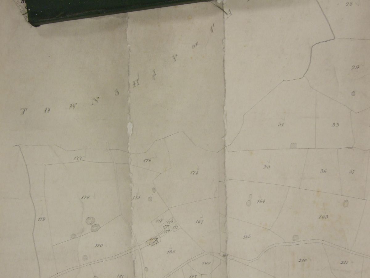
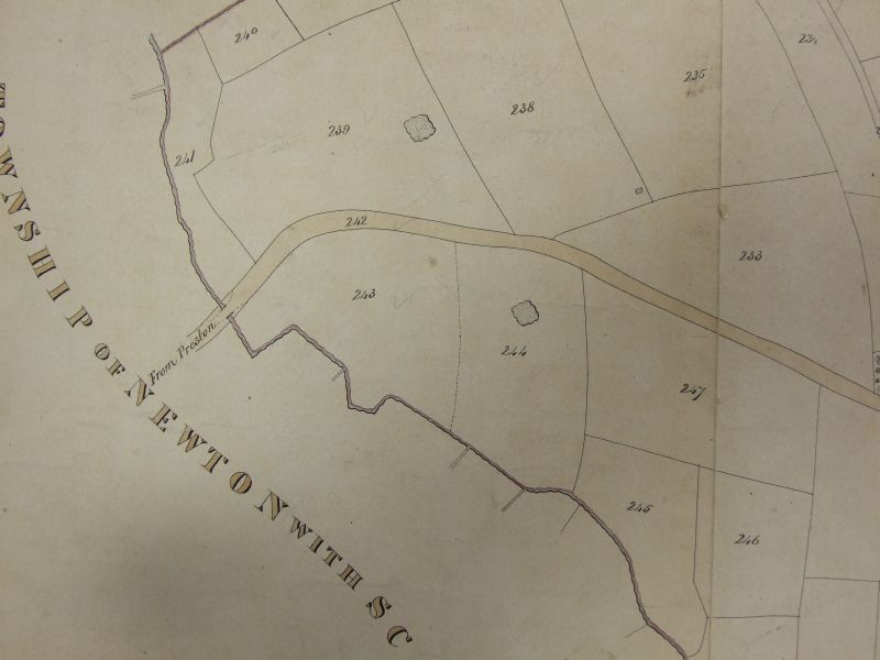
Moving onto the Hardhorn with Newton area we have:-
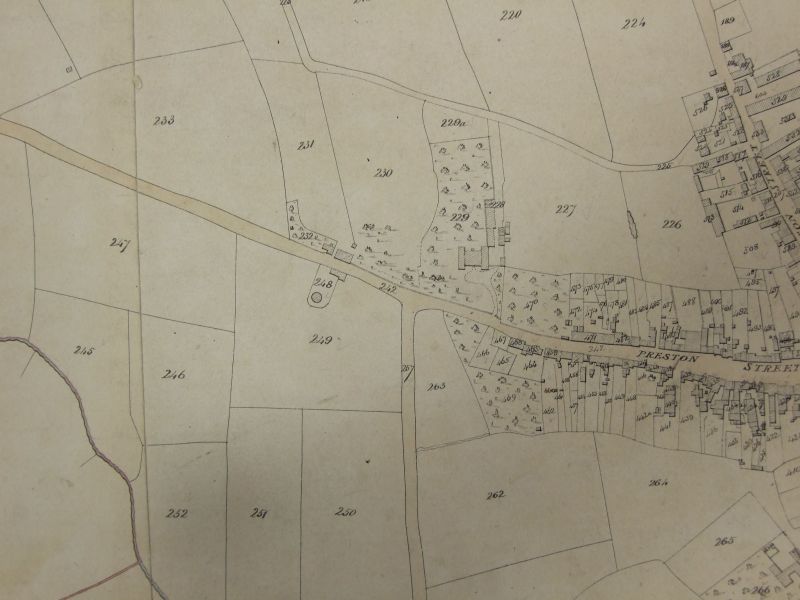
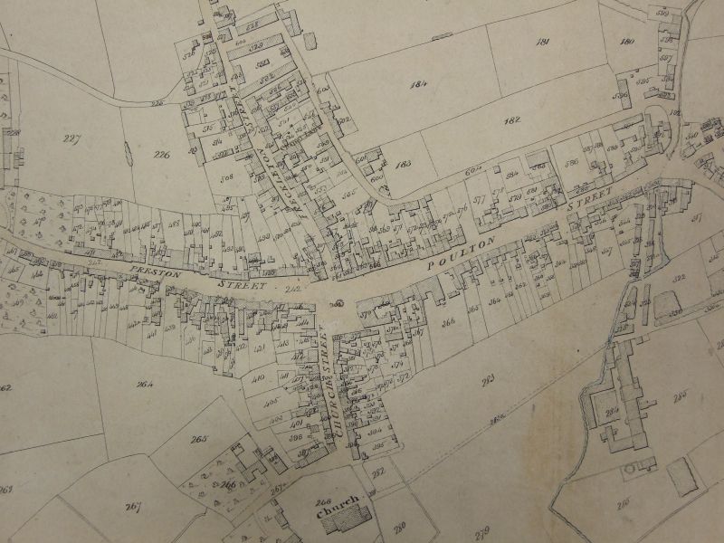
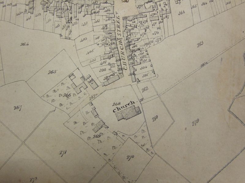
Kirkham
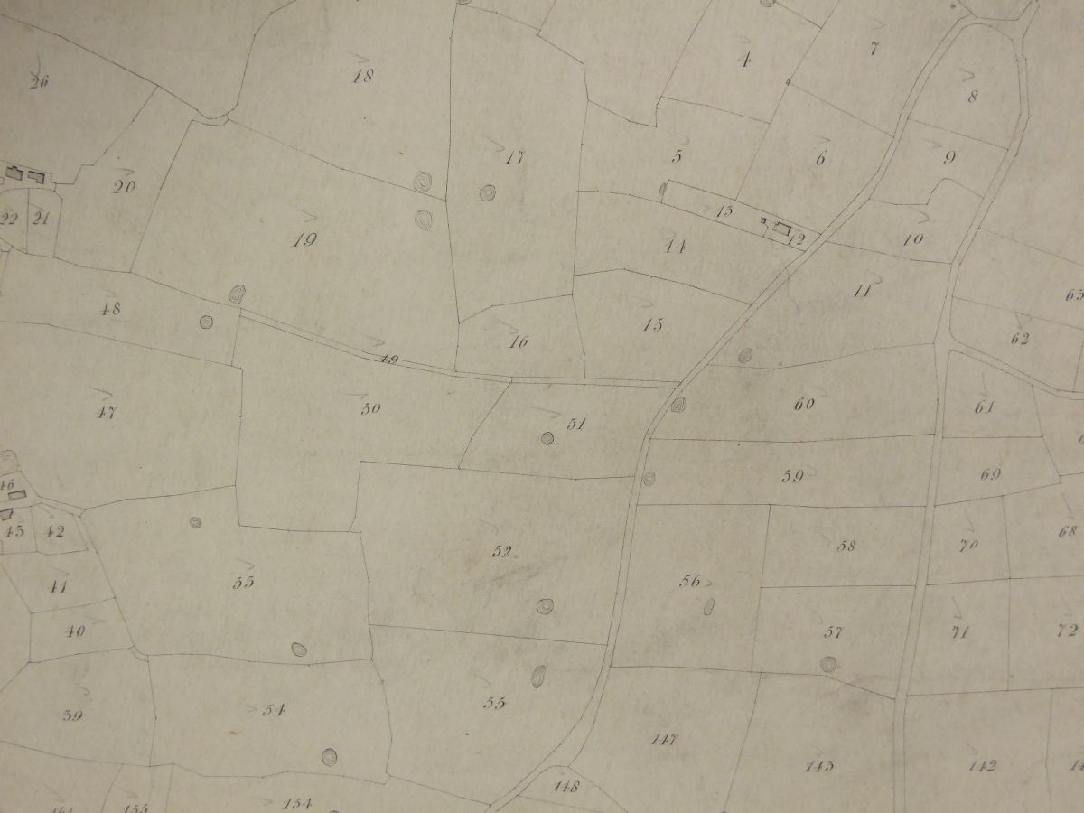
The first three maps go from East to West. The last one is centred on St Michaels church and is to the North of the centre. By clicking on the image a higher resolution image is produced. Press ESC to return to this page.
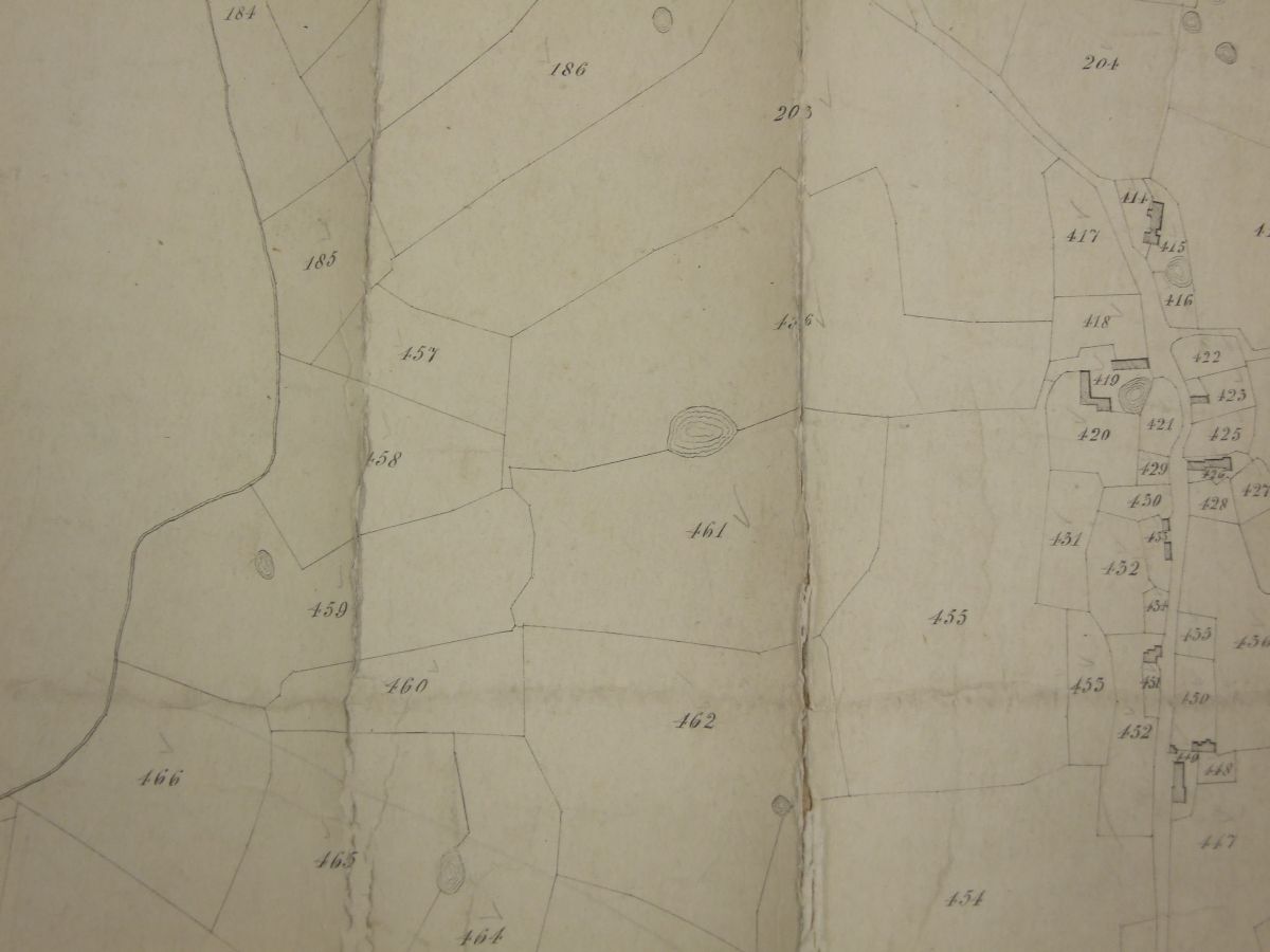
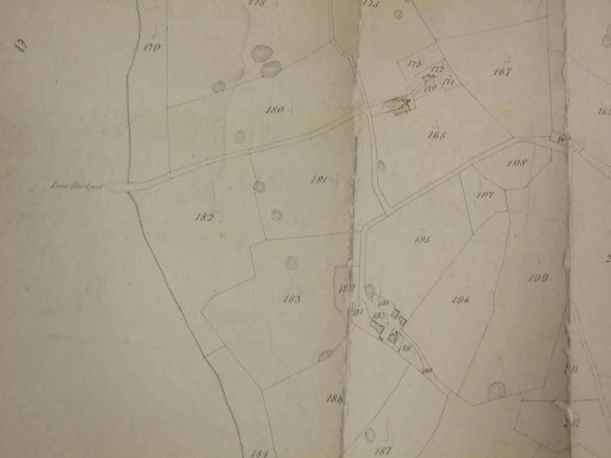
Kirkham Far East
Kirkham East
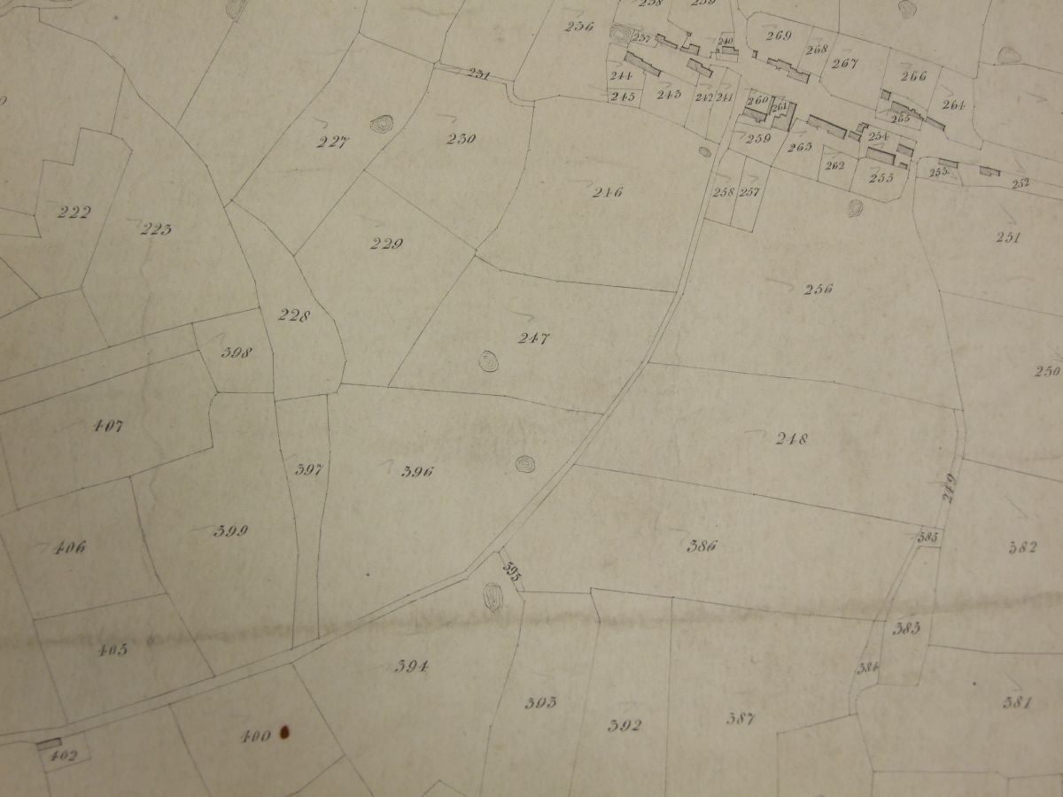
Kirkham Centre
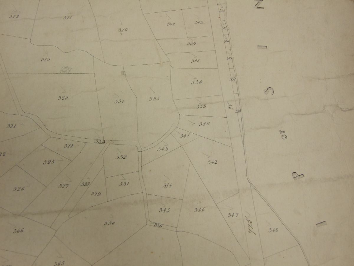
Kirkham South
Tithe Maps
Bourne Hill and Hall
Unfortunately none of the tithe maps go as far as the Bourne Hill area.
Danes Pad
Many thanks go to Lancashire Records Office (now Lancashire Archives) for permission to use these images.
Taking the suggested OS Danes Pad route as a starting point, the maps below have been taken from various tithe maps of the area. Most Tithe maps are not orientated N/S and some of the images have become a little mixed up. If you feel that the caption to images are wrong please contact the webmaster. At some stage I will Photoshop the Danes Pad route over the top of the Tithe Maps.
Little and Great Plumpton. The proposed Preston and Wyre Railway is shown on the top-right of the image. The putative Danes Pad was supposed to go between Grreat Plumpton and the railway.
Moving north the Pad went to the East of Weeton. All three maps (including to the East) are shown for completeness.
Moving further North
Moving onto the Hardhorn with Newton area we have:-
Kirkham
The first three maps go from East to West. The last one is centred on St Michaels church and is to the North of the centre. By clicking on the image a higher resolution image is produced. Press ESC to return to this page.
Kirkham Far East
Kirkham East
Kirkham Centre
Kirkham South